The Pocket Map Before the Phone: A Short History of Finding Your Way
The pocket map before the phone shows how travelers read streets, transit, and landmarks; learn what each map format reveals and what it leaves out.
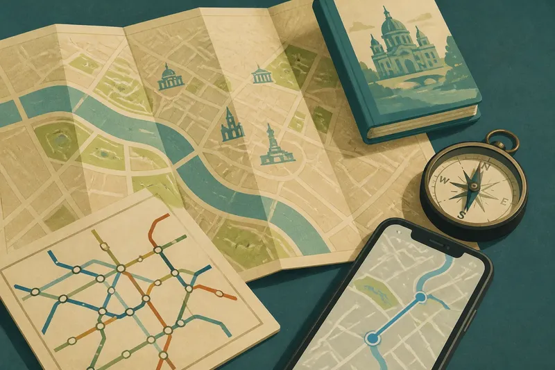
The common mistake with the pocket map before the phone is expecting it to behave like a live navigation screen; the cost is missing the wider shape of the place. A folded street plan cannot tell you where to turn next, but it can show how a station, river, park, and destination relate to one another.
Portable street plans
A pocket map put a city or region into a form a traveler could carry and consult outdoors. Its scale reflected a practical compromise: include enough streets to orient a visitor, while leaving out details that would make the sheet unwieldy.
Folds made the map compact, though they could obscure a block or leave a crease through the area someone needed to inspect. Even so, the paper sheet offered a broad view at once. A traveler could see that a museum sat beyond a park or that several destinations clustered around a square.
Different map formats served different scales. A city plan could show street names and neighborhood connections; a regional map gave more space to roads, railways, and terrain, with less detail at street level. The useful distinction is not old versus new, but what each view makes legible.
Guidebooks and landmarks
Guidebooks paired maps with descriptions of places and routes. A map could mark a church, while its accompanying text might identify a visitor entrance or explain the surrounding lanes. Directions therefore came with names and context, not just a line between two points.
Using a printed guide often meant reading a turn, looking up, and matching it to a street sign or building. That pause could be inconvenient, but it made landmarks part of the route. It also left room for editorial judgment: a guidebook selected which places to name and which to leave out.
A guidebook map was a useful view, not an authority on every street. If its suggested route seemed to bypass a nearby square or transit stop, a traveler could compare the page with signs and the visible layout rather than follow the printed line blindly.
Compasses and bearings
A compass indicates direction; it does not choose a street or identify a destination. Paired with a map, it helps relate the page to the landscape, such as a shoreline or ridge. On its own, the needle provides a bearing but little information about the route.
That distinction matters in unfamiliar places. Knowing which way is north is not the same as knowing where you are. A compass can help in open terrain, while dense streets call for names, landmarks, and a map of the route network.
Transit diagrams
Transit diagrams simplify geography so that lines, stations, and transfers are easier to read. They may straighten routes or space stations for clarity, so the diagram is not a reliable picture of surface distance or street layout.
Use the transit map to choose a service and transfer; use a street map for the walk to or from a station. The two views answer different questions. A station that appears close to a landmark on a diagram may still require finding the right exit and crossing several streets.
Phone maps and change
Phone navigation made a moving location marker, searchable addresses, and turn prompts available in one handheld tool. Unlike a printed sheet, the view can recenter as the traveler moves. The shift was not simply from paper to screen: it changed the balance between seeing a whole district and following an immediate instruction.
A route prompt can get someone to a door while leaving the surrounding layout obscure. A phone also depends on practical conditions such as battery charge, screen visibility, location signal, and, for some features, data access. Downloading an offline map when available and writing down an essential address provide alternatives if the screen cannot help.
What each map reveals?
Is a pocket map useful for city travel?
Yes, when you want to see several neighborhoods and how they relate to parks, rivers, or stations. It is less suited to confirming a business’s current entrance or a recently changed street layout.
How does a transit map differ from a street map?
A street map emphasizes geographic relationships and routes on the ground. A transit diagram emphasizes service connections and station order, often simplifying distance and shape.
Can a phone map work offline?
Some apps allow map areas to be downloaded in advance, though live traffic and current transit disruptions may still need a connection. Check the app’s offline options and keep essential destination details somewhere other than the app.
Why use a compass with a phone available?
A compass offers a directional reference without requiring a bright screen or an open map app. It does not identify a route on its own, so it is most useful alongside a map or recognizable terrain.
Choosing a useful view
Say you arrive at a fictional rail station in an unfamiliar city with a hotel address saved on your phone and a printed neighborhood map in your bag. You search the address on the phone, then check the paper map and notice that a river and public square sit along the route. The result is a route you can describe by landmarks as well as follow on screen.
- Check the scale: If the map shows the whole district but omits street names, use it to understand the area and switch to a street-level view for exact turns.
- Check the purpose of a transit diagram: If it shows line connections but not surface streets, use it to choose a ride and consult a street map for the station approach.
- Check for landmarks: If the route includes a recognizable river, park, or square, use that feature to orient yourself; if it does not, identify a street name or building before setting off.
- Check the phone’s offline map: If the destination area is saved and visible without a connection, keep it available; if not, write down the address and identify a paper or local information source.
- Check the route against signs: If street signs and the map agree, continue; if they conflict, pause and recheck your location rather than treating the drawn route as an order.
- Check the destination entrance: If the map marks the correct side or entrance, follow that detail; if it does not, use the building name and posted signs to confirm the final approach.
The pocket map before the phone remains useful as a way to see relationships that turn prompts can hide. Choose the format for the question at hand: a phone for a specific address, a transit diagram for connections, or paper for the surrounding district. A map earns its space when it helps you recognize not only where to turn, but what is around you.